
Tag: Redistricting
-
Redistricting map updates: advancements, vetoes, and enactments between Nov. 17 and 24

Between Nov. 17 and Nov. 24, the Georgia State Legislature advanced its congressional map plan to the governor’s desk and Gov. Tony Evers (D) vetoed a set of Republican-backed maps in Wisconsin. Meanwhile, five states enacted new congressional and state legislative district maps. Advanced Georgia: On Nov. 22, the Georgia State Legislature approved maps redrawing…
-
Illinois enacts new congressional district maps

Illinois enacted new congressional districts on Nov. 24, 2021, when Gov. J.B. Pritzer (D) signed a proposal approved by the legislature into law. Illinois was apportioned 17 seats in the U.S. House of Representatives after the 2020 census, one set less than it was apportioned after the 2010 census. This map will take effect for…
-
Massachusetts enacts new congressional district maps

Massachusetts enacted new congressional districts on Nov. 22 when Gov. Charlie Baker (R) signed a proposal approved by the legislature into law. Massachusetts was apportioned nine seats in the U.S. House of Representatives after the 2020 census, no change from after the 2010 census. The map will take effect for the state's 2022 congressional elections.…
-
Redistricting committee updates in Connecticut and Virginia

Here’s a summary of recent redistricting committee updates from Connecticut and Virginia: In Connecticut, the Reapportionment Commission selected John McKinney (R) as a ninth and potentially tie-breaking member. McKinney is a former state Senator who served as minority leader for seven years. The previous tie-breaking member, Kevin Johnson (D), resigned from the position. Though the…
-
Oklahoma enacts new congressional, legislative maps
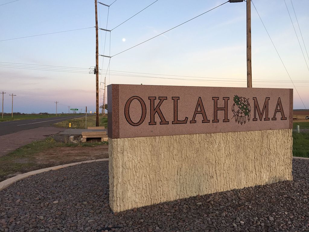
On Nov. 22, Oklahoma Gov. Kevin Stitt (R) signed new congressional and legislative maps into law. These maps will take effect for the state’s 2022 congressional and legislative elections. Oklahoma is the 17th state to complete congressional redistricting, and the 21st state to complete legislative redistricting. The Oklahoma State Senate approved the Senate map in…
-
Redistricting timeline updates: Virginia Supreme Court selects special masters and Washington commission misses deadline
Here’s a summary of recent redistricting updates from Virginia and Washington. Virginia: On Nov. 19, 2021, the Virginia Supreme Court unanimously approved two nominees for special master: Sean Trende, the Republican special master nominee, and Bernard Grofman, the Democratic nominee. Each party in the legislature was required to nominate three special masters, and the court…
-
Ohio enacts new congressional map

Ohio Governor Mike Dewine (R) signed a new congressional map into law on Nov. 20, 2021, making Ohio the 15th state to enact a congressional map during the 2020 redistricting cycle. This map takes effect for Ohio's 2022 congressional elections. In the 2010 redistricting cycle, Ohio enacted its Congressional map on Sept. 26, 2011, 55…
-
Connecticut Reapportionment Commission enacts new state House district maps

On Nov. 18, the Connecticut Reapportionment Commission voted 8-0 in favor of new maps for the state’s 151 House districts. The commission, made up of four Democratic and four Republican lawmakers, took over the redistricting process after the previous Reapportionment Committee did not meet its Sept. 15 deadline. Census data was not delivered to the…
-
Redistricting map updates: proposals, advancements, and enactment between Nov. 10 and 17
At least 16 states progressed in either proposing, advancing, or enacting new congressional and state legislative districts maps as part of the 2020 redistricting cycle between Nov. 10 and Nov. 17, 2021. Proposed California: On Nov. 10, five days before its deadline, the California Citizens Redistricting Commission released its first draft maps of the state’s…
-
Utah enacts new legislative maps

Utah Gov. Spencer Cox (R) signed new state legislative district maps for both chambers into law on Nov. 16, 2021. After Cox called a special session to begin on Nov. 9, the Utah legislature voted to approve the House and Senate district maps on Nov. 10. The House passed a proposed map of their own…